Australians are set to experience sharply contrasting weather conditions on Christmas Day, with severe storms threatening Queensland, unseasonable cold forecast for Melbourne and extreme heat fuelling bushfire concerns in Western Australia.
The Bureau of Meteorology (BoM) has issued a suite of warnings across multiple states, flagging dangerous thunderstorms, flash flooding and damaging winds in the east, while heatwave alerts and elevated fire danger ratings take hold in the west.
Authorities say the split forecast reflects a complex mix of tropical moisture, southern systems and a deepening west coast trough, creating hazardous conditions for those travelling over the holiday period.
Queensland’s north, east and south-east are expected to be hit hardest by storms, Victoria’s capital is likely to endure one of its coldest Christmas days on record, and Perth is preparing for temperatures pushing into the 40s.
Emergency services are urging Australians to stay informed, plan ahead and remain alert as weather extremes unfold across the country.
Queensland on alert as Christmas storms intensify
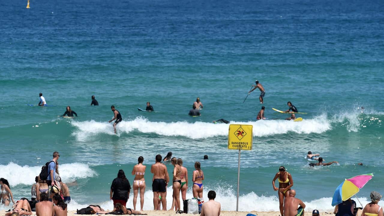
Queensland is bracing for a volatile and potentially dangerous Christmas period, with severe weather warnings covering large parts of the state’s north, east and south-east.
Meteorologist Sarah Scully said on Tuesday that a “developing monsoon trough” was drawing deep tropical moisture across northern and eastern Australia, creating the conditions for severe thunderstorms.
She said water vapour imagery showed exceptionally high humidity levels — a key ingredient for storm development — stretching across northern Australia and into north-eastern New South Wales.
Storm activity over the past 24 hours has already produced intense rainfall, with Scully noting “peppered 24-hour totals in excess of 100 millimetres,” including “214 millimetres at Byron Bay” in far-northern NSW.
Severe thunderstorm warnings apply across parts of the Wide Bay Burnett, Capricornia, Central Highlands and Coalfields, where heavy rainfall may lead to flash flooding. Areas near the NSW border also face the risk of damaging winds and hail.
Severe thunderstorms are forecast for large parts of Queensland. Source: AAP / .
“That’s wind gusts in excess of 90 kilometres per hour,” Scully said, with “a risk of large hail”.
Flood watches remain in force across western Queensland and eastern parts of the Northern Territory as repeated days of rainfall saturate catchments and rivers begin to rise.
“Grounds are getting wet and catchments sodden,” Scully said, warning that roads could be cut off and communities isolated in the coming days, with both flash and riverine flooding possible.
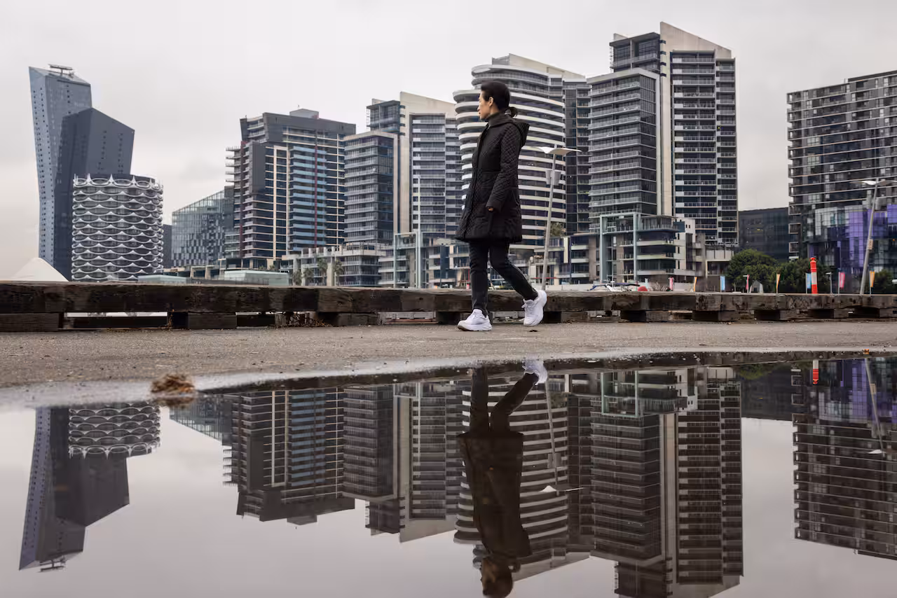
Melbourne swaps summer heat for winter bite
While northern Australia braces for storms, Melbourne is preparing for a cool and subdued Christmas, with a forecast top of just 17C under cloudy and breezy skies.
Cool temperatures are forecast for Melbourne. Source: AAP / Diego Fidele
If temperatures fail to rise above that mark, it would be Melbourne’s fourth-coldest Christmas Day since records began in 1855 — a stark departure from last year’s festive heat, when the city reached 33C.
The chilly outlook follows a cool start to summer, with Melbourne recording a maximum of just 16C on 1 December, making it the coldest first day of summer since 1996.
While Melbourne’s long-term average Christmas Day temperature sits at 25.6C, festive weather in the city is notoriously unpredictable, swinging sharply from year to year.
This year, Victorians are more likely to reach for jumpers than sunscreen.
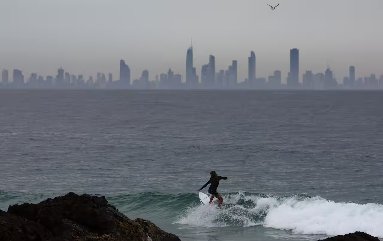
WA heatwave raises bushfire risk over Christmas
In Western Australia, authorities are warning of extreme heat and dangerous fire weather conditions developing over Christmas.
Senior BoM meteorologist Robert Lawry said a deepening west coast trough was driving “very hot conditions” along the west coast, including Perth and the south-west.
“We’ve got three very hot days,” Lawry said on Tuesday, referring to Tuesday, Christmas Eve and Christmas Day.
He said Perth was forecast to reach 39C on Christmas Eve and 41C on Christmas Day, with the heat accompanied by “strong and gusty easterly winds” and “very weak sea breezes”.
Lawry said there was also “a small risk of thunderstorms for Perth on Christmas Day”, before conditions ease on Boxing Day as the trough moves inland.
Emergency services warned the hot and gusty conditions could significantly increase bushfire danger across the south-west land division.
“We have more difficult and challenging fire weather on the way,” Fire and Emergency Services deputy commissioner Craig Waters said, warning that gusty winds could lead to “increased bushfire behaviour”.
Authorities urged Western Australians to stay informed, prepare emergency plans and be ready to act if threatened.
“Our message is to be across all of the conditions in your area,” Waters said, warning that “fires can start anywhere in the state”.