
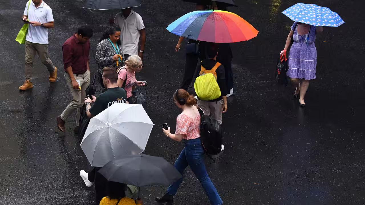
More wet weather ahead for an already drenched Queensland
In Brief
- A blocking high and inland trough are bringing heavy rainfall across Queensland.
- The BoM expects drier weather to start around Tuesday next week.
Queensland residents are being warned to prepare for more heavy rain and storms, after a wet start to the week.
The Bureau of Meteorology’s (BoM) senior meteorologist David Crock says two interacting weather patterns are bringing heavy rain to the state.
A high-pressure system sitting over the Tasman Sea and an inland trough over western Queensland are bringing showers, rain and some thunderstorms.
“This time last week, most of the catchments across southern and south-eastern and central Queensland were very dry following little rainfall in recent months,” Crock said.
“Rivers and creeks are now starting to fill up after several days of rain.”
Your trusted source for staying up-to-date with the world around you. Get free daily news updates and analysis, straight to your inbox.
The Sunshine Coast was among the wettest areas, with Sippy Downs receiving 127mm in less than 24 hours from Monday morning.
Other parts of the north tropical coast have already recorded 50 to 90mm rainfall.
The remote Middle Percy Island recorded 121mm last Friday, nearly 10 per cent of its annual average rainfall.
Inland rivers in some parts of the Maranoa and Warrego regions have started to fill up after several days of rain.
The BoM has no flood warning at present, but has warned residents to stay vigilant.
“Even where catchments remain dry, heavy rain with thunderstorms can lead to rapid flash flooding,” Crock said.
He said there is a risk of severe thunderstorms with heavy rainfall through central and western Queensland on Tuesday and Wednesday.
Towards the end of the week, a cold front could also bring storms to southern and south-eastern Queensland.
While blocking highs can bring the same kind of weather to an area for an extended time, the BoM is predicting drier weather from midway through next week.
“There’s a fair bit of uncertainty still with this forecast as the blocking high can be very stubborn and can slow down an approaching cold front, but it looks like by this time next week we will see much drier weather,” he said.
It’s the start of Queensland’s severe weather season, according to the BoM, as October to April is the peak time for storms, tropical cyclones and floods across the state.
For the latest from SBS News, download our app and subscribe to our newsletter.